Related Graphics and Data
Products used for the AIRPACT forecasting system
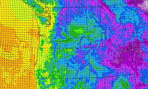
University of Washington WRF
AIRPACT uses UW's Weather Research and Forecasting Model (WRF) 4-km data
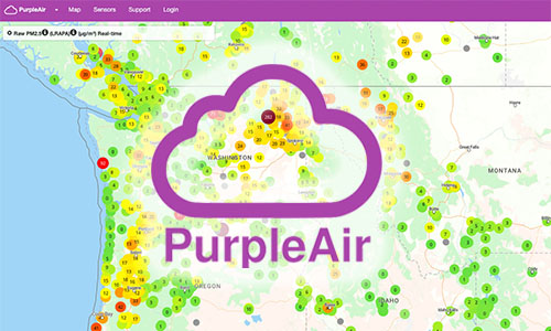
Purple Air
Aerosol sensor network map. Low cost particle counter sensor network with algorithm correction for estimate of PM2.5 from smoke.
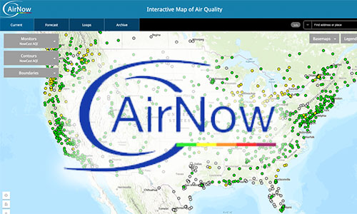
AirNow
Performance of AIRPACT is compared with observations at AirNow monitoring stations using the AirNow API.
Wildland Fire Air Quality Response Program
Provides links to the most recent versions of tools produced by the U.S. Forest Service PNW Research Station's Pacific Wildland Fire Sciences Laboratory in support of the Wildland Fire Air Quality Response Program and wildland fire operations.
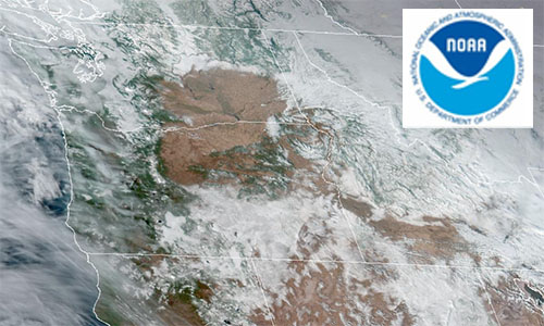
NOAA GOES Imagery
Current GOES-West GeoColor satellite image animation for Pacific Northwest. Multiple sector views and wavelength bands are available.
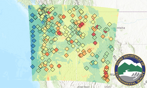
Idaho DEQ Background Concentrations
Background concentrations of criteria air pollutant design values for use in air permit engineering.